Location
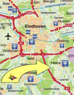
The campsite 'labelterrein Achter 't Heezerenbosch' is situated a few miles south of the city Eindhoven. You can reach the site by public transport, by car or by bike. GPS-coördinates of the main entrance: N51°22.180 E 005°32.096.
Public transport:
By train:
Take the train to trainstation Heeze. Check your journey via www.9292.nl.
Then take a 3 km walk from the trainstation to the campsite.

Walking from station Heeze:
From the platform, take the exit to the right (name of the street is 'de Leuren'). At the end, go leftt (de Ambachten. The street changes to Ten Borghwardlaan). Follow the footpath straigt ahead. Go right en after approx 200m the first hard surfaced road to the left. Take the first path to the right (Schaverspad). At the end of the path go straight ahead (Heezerenbosch). Walk on past the camping site. The hard surfaced road becomes a sand road with a bicycle path. You will find the main entrance after 500 m.
 |
 |
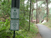
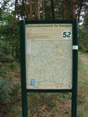
By bicycle:The campsite can be reached by bicycle from many different directions. The campsite is situated near bicycle-knot 52. Use the website fietsrouteplanner to plan your route to knot 52.From this point take the forrest path South-East. This is a former railway. The path goes on top of the former railway embankment. After 300 m you will reach the campsite.
|
|
By car:
|
 |
